Neighborhood 1: Cueto
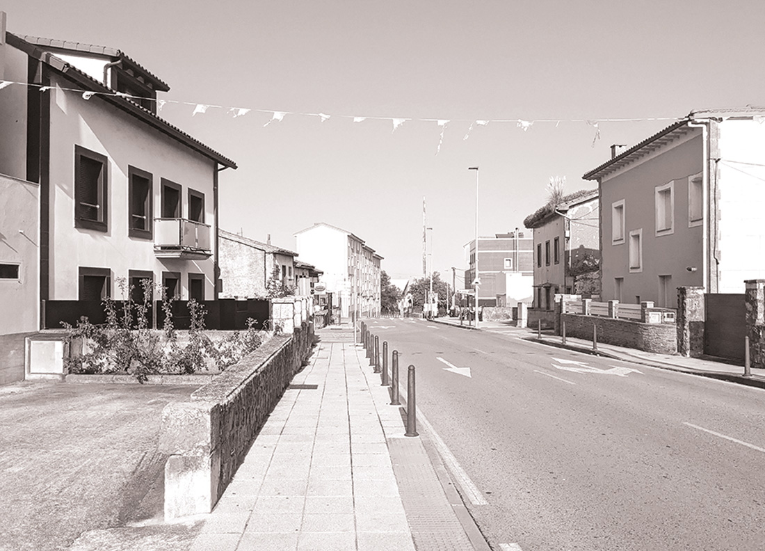
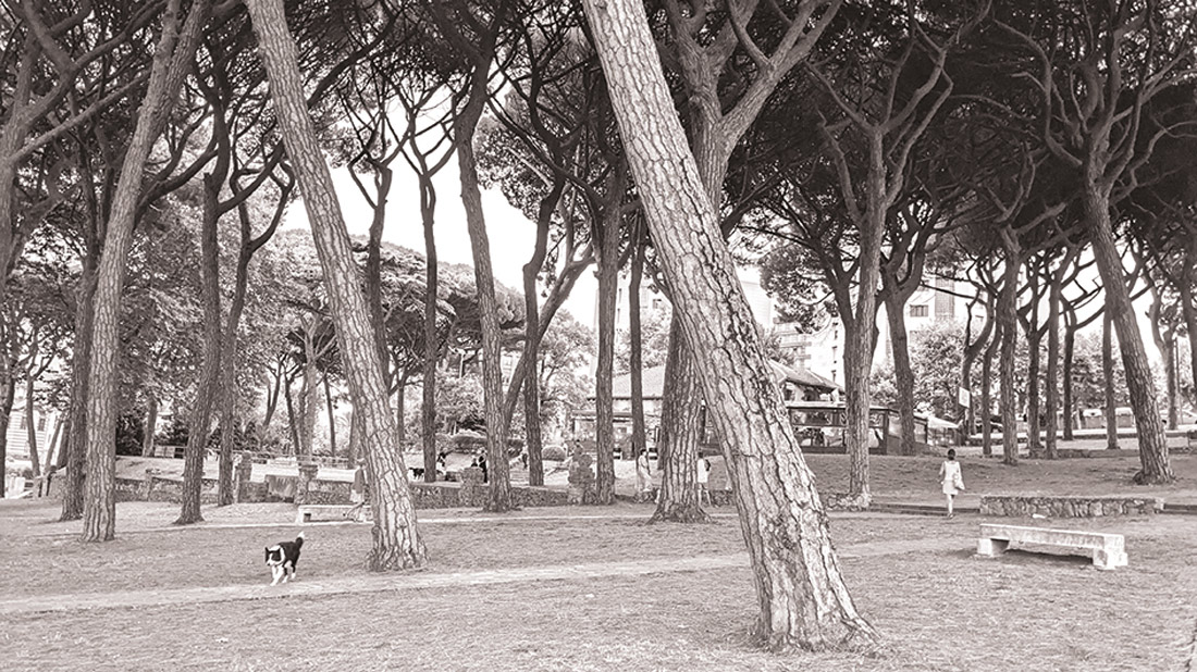
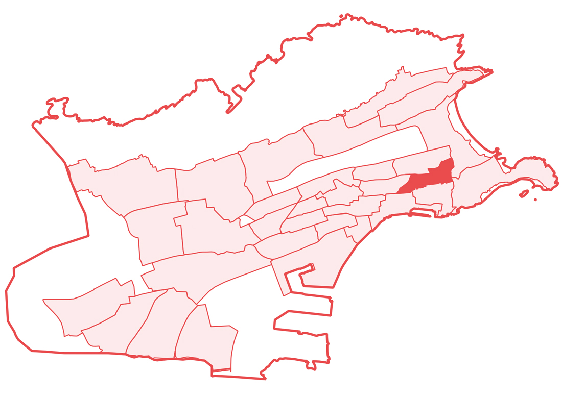
The neighborhood union and the reclaiming sentiment of the Cueto residents constitute a characteristic trait of the personality of a neighborhood where its inhabitants define themselves as simple, honest, and hardworking people. Many of them reside in the family home “for a lifetime,” modest houses with gardens that bear witness to an agricultural activity whose origin dates back to the Middle Ages. The rural nucleus of Cueto preserves this farming essence thanks to a citizen militancy that combines a sense of belonging to the neighborhood with an act of resistance against the urge for attached villas and modern apartment blocks with swimming pools being built in the vicinity. Cueto is and wants to continue being different from all that.
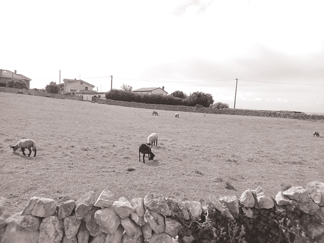
Beyond social matters, another fundamental element of the neighborhood is its landscape, a picture between bucolic and Celtic dominated by the green of the crops, dotted with some small constructions and gardens, and the maritime blue to the north. Cattle graze in a meadow with a unique, highly compartmentalized parceling, organized by a network of paths and dry stone walls without any mortar (morios). Along these paths, one reaches the Coastal Route of Costa Quebrada, a geological spectacle linking monuments like the English Pantheon or natural wonders like the collapsed Devil’s Bridge.
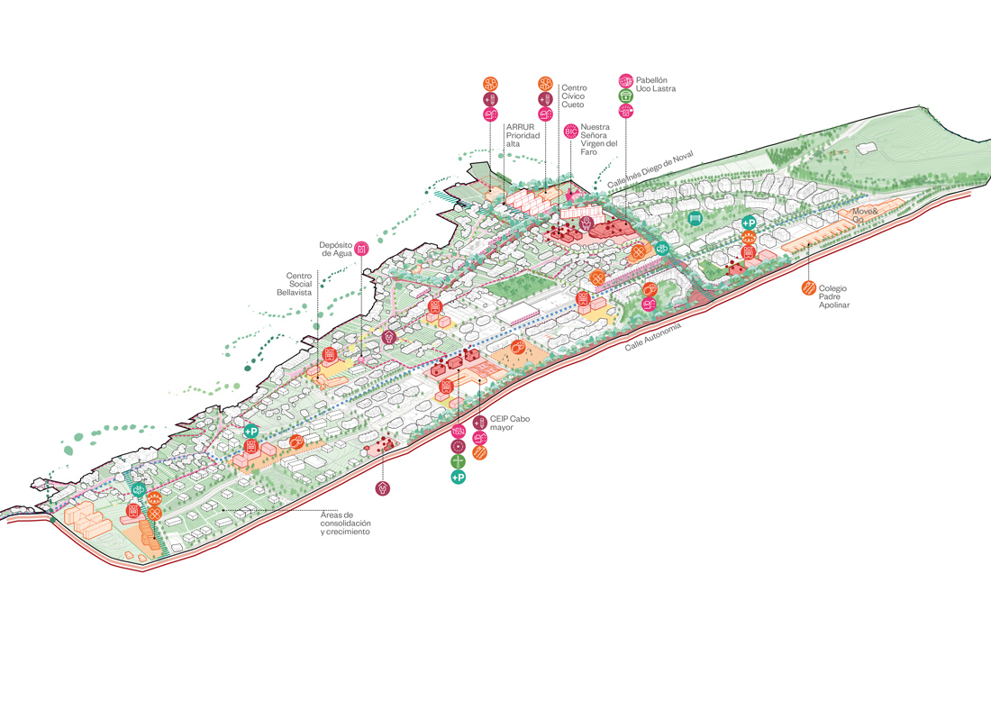
The Neighborhood Plan responds to the history, identity, and associative fabric of Cueto and defines proximity solutions aimed at protecting its identity as a rural nucleus and improving its integration with the new urban fabrics of neighboring neighborhoods: Valdenoja and S-20 la Torre.
The civic axis reinforces the existing centrality from Inés Diego de Noval Street to Dr. Diego Madrazo roundabout as it passes through the new Cueto Civic Center, where future uses such as digital manufacturing space, intergenerational space, proximity product market, etc., are planned to be housed. The civic axis involves the transformation of the roadway section into a pedestrian living street where tree planting is improved, and public spaces around facilities are expanded. Furthermore, in the surroundings, the deployment of programs to support commercial and hospitality activities is proposed.
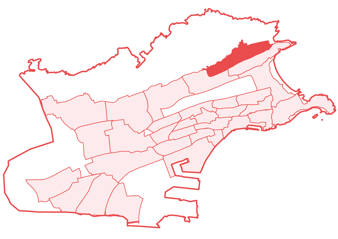 The conservation of rural identity is pursued with measures such as the protection of its urban fabric, constructive typologies, dry stone walls, and unique urban elements not yet cataloged, such as the water tank on Bellavista Street. The Plan is complemented by housing rehabilitation measures, with the declaration of an urban regeneration and renewal area for the group of houses on Hipódromo Street. Additionally, public and service housing is located in new developments, addressing the needs of youth, and proposing new types of homes with shared spaces as cohousing solutions.
Neighborhood 2: El Sardinero
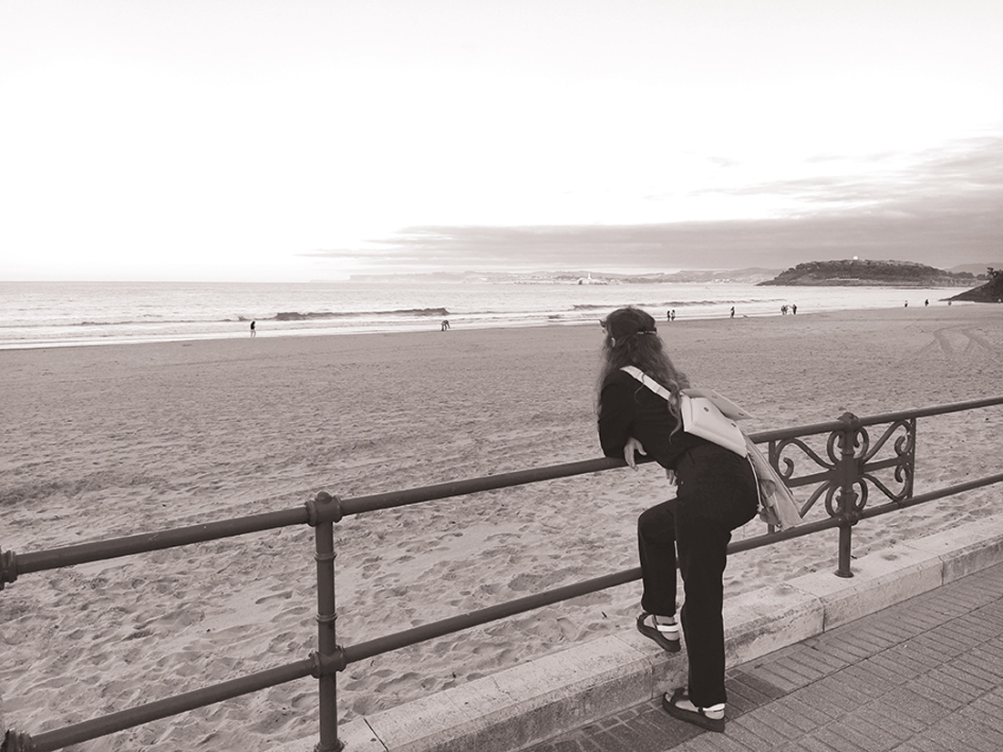
El Sardinero is the neighborhood that best represents the evolution of a city that shifted its economic orientation from port and commercial activities to tourism, a sector that would ultimately determine the projected image of Santander to the rest of the world. Conceived in the late 19th century as a luxury seaside city for tourists to enjoy ‘wave baths’ on the shores of its spectacular beaches, some buildings still evoke that past of elegant summer vacations and aristocratic hedonism, such as the Casino, the Gran Hotel Sardinero, or the historicist building of the Finca Quinta Los Pinares. One hundred years later, from Camello Beach to Segunda Beach, passing through Concha and Primera, the beaches of El Sardinero continue to fill every summer with thousands of locals and visitors, who enjoy endless walks along its long sandy shores to the sound of one of the quintessential native sports: paddle tennis.
Beyond its beaches and the summer period, El Sardinero is the chosen place for many Santander residents to enjoy a long walk on windy days in winter, to sit and watch the sea among palm trees from the Piquío Gardens, or to go cheer for the local football team, Racing de Santander, whose stadium is named Campos de Sport de El Sardinero.
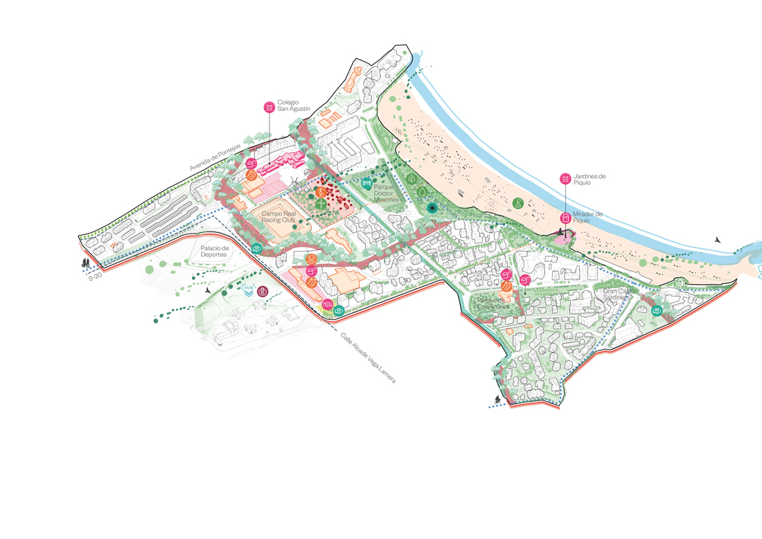
The neighborhood of El Sardinero is located between the beach that gives it its name and the Vaguada de las Llamas. It is a neighborhood crossed by one of the main green corridors of the city, affected on its coastal front by the processes of retreat of its limit due to climate change. The Neighborhood Plan addresses this reality, so the waterfront remains as a large naturalized space, including the parking lot of Real Racing Santander. This facility is replaced by a new parking lot integrated into the slope of the university: a new intermodal node. The old parking lot remains as a space to be naturalized in which to develop neighborhood centrality, with facilities for future equipment services, as well as energy services.
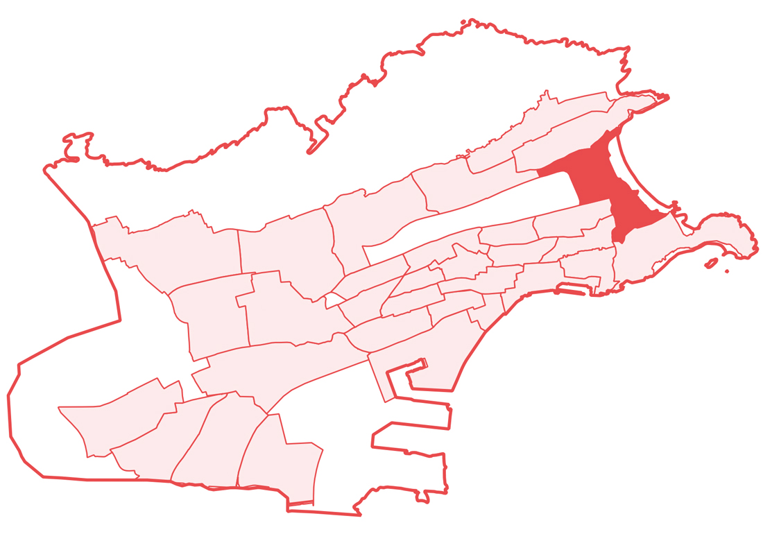
To dynamize cultural and participatory activity, a wild free space with potential for transfer to the associative fabric or to young people linked to the educational facility is identified next to the Las Llamas Institute.
Regarding the road network, the improvement of the Alcalde Vega street section and the S-20 represent a major transformation for the neighborhood, in which safe pedestrian crossings, cycling routes, and tree improvements are fundamental.Regarding housing, El Sardinero is one of the areas most affected by tourist rentals, so regulating this activity will promote coexistence between permanent and tourist residences. It should be added that the centrality of the civic axis in this neighborhood will favor more pleasant pedestrian routes and, with it, the potential emergence of new commercial fabric, currently very scarce.
 Neighborhood 3: Menéndez Pelayo
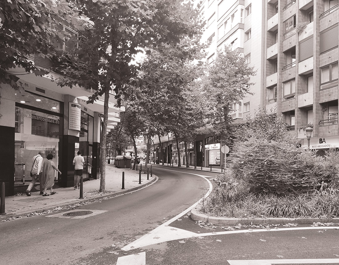
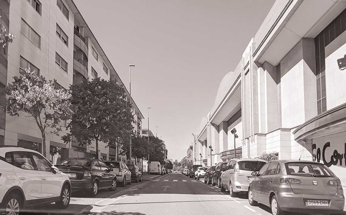
The layout of the Concepción Promenade at the end of the 19th century, aimed at establishing a direct route to connect the center of Santander with El Sardinero, required significant earthworks and the construction of retaining walls over the Tetuán ravine. The result of that engineering feat, which in 1903 would be renamed as Menéndez Pelayo Promenade, still in the lifetime of the Santanderian writer, was a tree-lined avenue almost a kilometer long, with a pronounced and constant slope, which soon became the home of painters, intellectuals, aristocrats, and bourgeoisie.
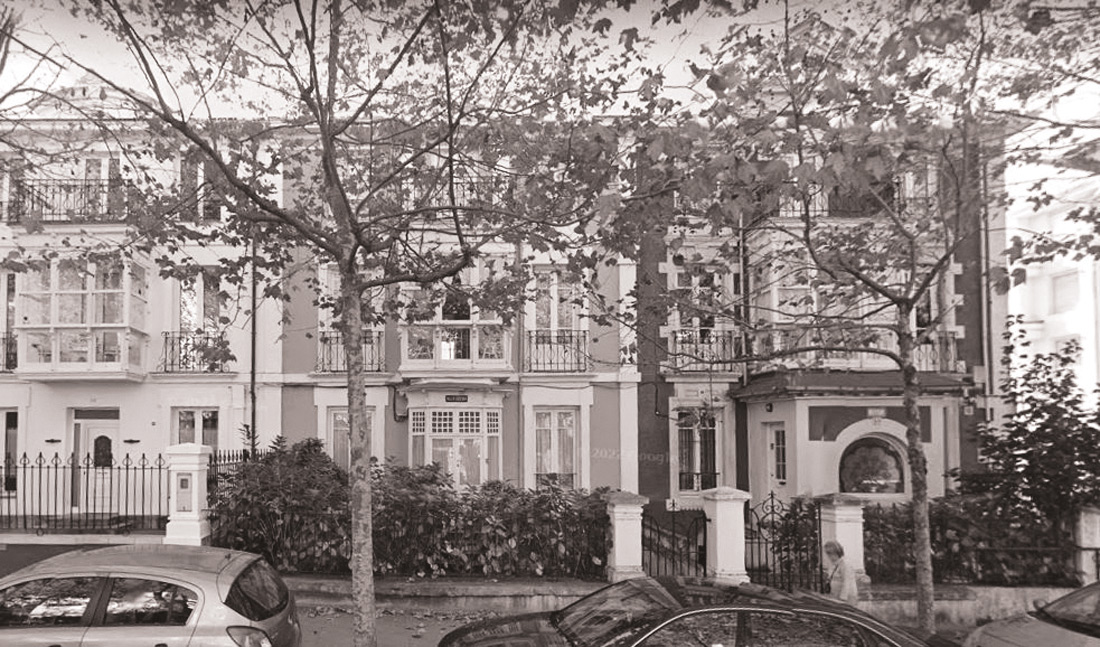 Today, the promenade keeps alive its elegant essence thanks to the good conservation of many of its original buildings (the oldest, inhabited and in perfect condition, was built in 1883). Among constructions painted in different colors with wooden galleries and glassed balconies facing the street (bow-windows), there are mansions and villas designed by some of the best architects from Cantabria. Sometimes with a sober Cantabrian regionalist style, like El Solaruco (1916), by Leonardo Rucabado, or Villa Josefina (1949), by Deogracias Mariano Lastra, and others with traces of refined eclectic modernism, like Villa Lola (1912) or Villa Carmen (1912), both by Javier González de Riancho Gómez. On both sides of the promenade, the colors of the leaves and bark scales of the rows of plane trees announce the passage of the seasons.
Menéndez Pelayo is a neighborhood with good standards but lacking in parameters related to economic activity and participation.
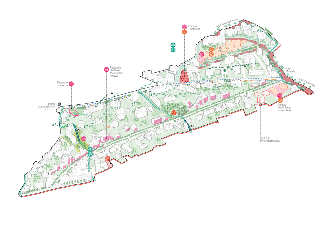
The Neighborhood Plan proposes to reinforce the Infantes Avenue as a civic axis of centrality from Alto Miranda, connecting existing schools, revitalizing their courtyards, and including local cultural programming. Additionally, it suggests improving the accessibility and safety of the street and promoting economic activity on Canalejas Promenade. The Telefónica building is also identified as an opportunity to allocate it for future facilities.
The transversal project of General Dávila Street, which will become the new Alta Promenade proposed by the City Model, begins at the eastern end of the neighborhood, making it the gateway to this great green corridor. Along this route, we find the Arna reservoir, the last of the five water reservoirs on General Dávila Street.
Further south, the historical identity of Menéndez Pelayo Promenade is based on the large number of original buildings that are preserved, requiring protection, conservation, and dissemination.
On the other hand, the complex topography of the neighborhood makes pedestrian accessibility a key issue: its improvement is proposed with mechanical solutions on transversal routes.
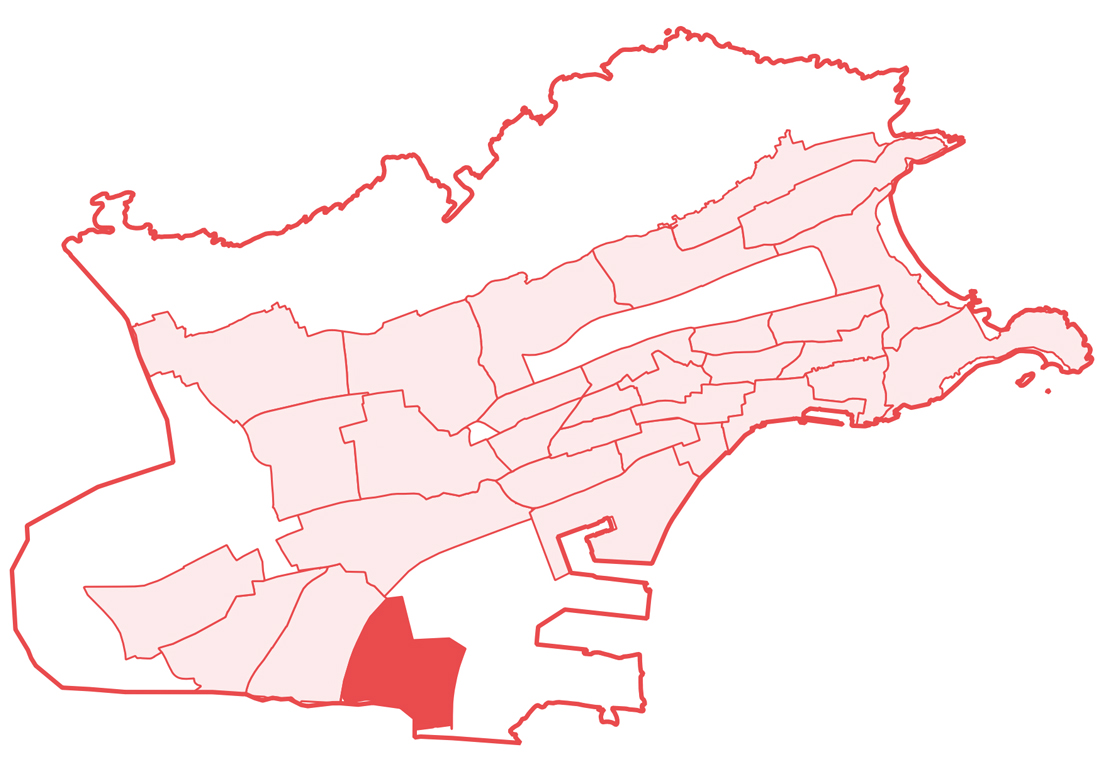
Neighborhood 4: Nueva Montaña
In 1899, José María Quijano Fernández-Hontoria installed the Altos Hornos de Nueva Montaña society in a marshy area located on the outskirts of Santander. Driven by repatriated colonial capital, the establishment of this steelworks introduced the defining keys of its industrial future to the region and provided decades of progressive development of housing and social amenities for its workers. In the early 1990s, the reclassification of some lands brought about other types of buildings, as can be observed in the current typological mixture of the neighborhood: along with the steel mill and industrial estates, we find clusters of single-family homes with gardens like the Santiago el Mayor neighborhood, new developments of apartment blocks especially attractive to young families, a large shopping center, or the Our Lady of Carmen Salesian Parish, a rare bird in the shape of a spaceship.
The neighborhood is perfectly delimited by the commuter train line to the west, by the S-10 and A-67 highways to the east and south respectively. The latter separates the neighborhood from a marshland area with great potential as a recreational area, perhaps a beautiful memory of the swampy origins upon which the Cantabrian entrepreneur forged his steelworks, a true industrial benchmark in Cantabria that continues to operate today under the name Global Steel Wire (GSW).
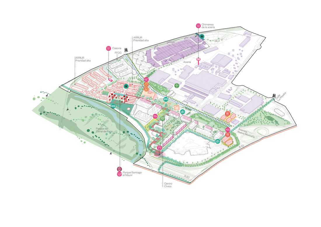
Nueva Montaña benefits from the cross-cutting South Corridor project, outlined in the City Model, which involves the recovery of the Raos canal and the marshland surroundings. The necessary focus on this natural resource entails a significant improvement in natural and pedestrian connectivity from Nueva Montaña to the Bay and towards Camarreal. In this sense, the Neighborhood Plan articulates the civic axis, connecting the main facilities with the South Corridor and signposting the access points to the marshland landscape. It is the central piece of the Plan and involves the improvement of the road section, the increase in greenery and urban furniture, as well as the revitalization of activity in commercial plinths. The axis also connects the Nueva Montaña Primary School with the proposal for the conversion and expansion of Santiago Mayor Park, which integrates as a future facility, and runs along Francisco Tomás and Valiente Street to Luciano Malumbres to revitalize the existing Civic Center. It is also proposed to transfer public land in front of this center for use by the associative fabric as urban gardens or other social initiatives.
Among the various measures of the Plan, the transformation of public space and roads from a pedestrian and cyclist perspective stands out, with improvements in accessibility and the naturalization of the school and sports fields environment to the parish, as well as the adaptation of greenery and expansion of cycling routes connecting the neighborhood to Peñacastillo and Castilla-Hermida. Finally, the neighborhood’s identity is reinforced with the protection of historic mansions and the identification of industrial elements that will be future icons, such as the steel mill chimney, and an urban regeneration area is delimited around groups of historic single-family homes near the railway tracks, and sites are identified for their potential development as endowed housing.
Neighborhood 5: Paseo Pereda – Puertochico
Puertochico is synonymous with elegance and tradition. Located on reclaimed land from the bay, the promenade threads through Santander’s port and mercantile history, linking landmarks of the city such as the Stone Crane, the Embarcadero Mansion, José María de Pereda’s raqueros sculpture, or the small marina that gives the neighborhood its name. Meanwhile, the centuries-old Pereda Gardens, recently renovated to connect with the promenade and the Botín Center (designed by Renzo Piano), and Paseo Pereda are two of the most beloved spots for Santander locals. The promenade showcases luxurious architecture, much to the liking of the commercial bourgeoisie and 19th-century elites, with mansard roofs, domes, viewpoints, and glass galleries.
The neighborhood’s characteristic regular urban grid is enriched by transversal streets framing impressive views of the Santander Bay and Peña Cabarga, as seen in Lope de Vega Street. It also allows for open spaces like Pombo Square, with its music kiosk and the Arcos de Botín house, where on Sundays children and adults have been meeting for decades to trade cards, or Cañadío Square, the heart of Santander’s nightlife. In fact, the varied offer of entertainment venues and restaurants, especially concentrated on Peña Herbosa and Hernán Cortés streets, makes the neighborhood one of the liveliest (and noisiest) in the city.
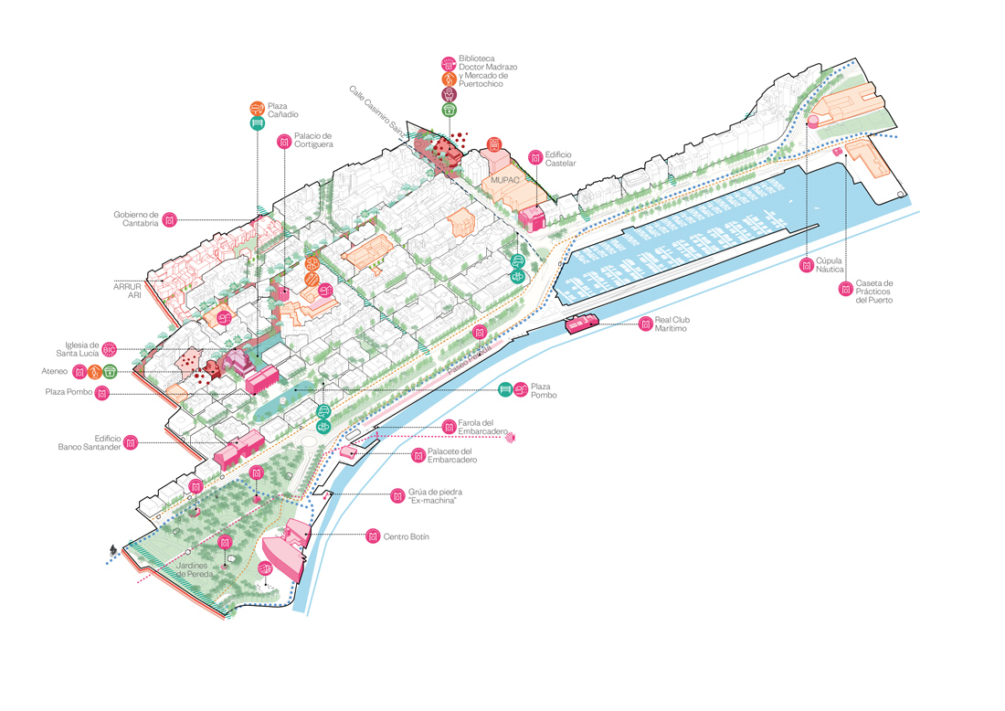
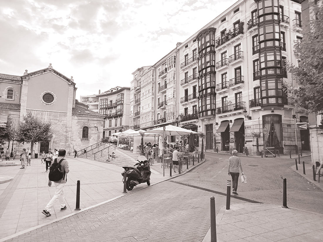 Puertochico is a dense and dynamic expansion. Its facade, Paseo Pereda, is recognized as the city’s front towards the recovered port docks from the marina to Pereda Gardens, where the Botín Center is located. It is a coastal front equipped with open spaces, cultural buildings, and nautical activities from which the neighborhood benefits. However, daily life unfolds within this urban fabric, where there is a need for the naturalization of public space and occasional renewal of identity squares such as Pombo and Cañadío. Additionally, the reinforcement of proximity centrality on Santa Lucía Street should serve to connect the Ateneo with the Dr. Madrazo Library, two nodes where it is advisable to activate endowment services associated with future facilities.
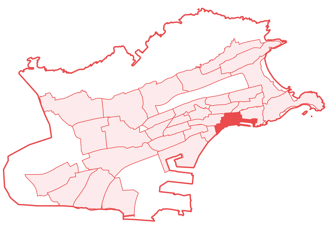
Among the areas to be transformed integrated into the Neighborhood Plan, the urban piece composed of the future MUPAC stands out to the west, as well as the currently vacant plots used for parking, the Puerto Chico Market, and the Dr. Madrazo Library. In the latter, a new provision of health and social welfare equipment is proposed, as well as the development of endowed housing to facilitate new residential typologies (shared cohousing models, intergenerational residences, studio apartments, etc.). These interventions, along with the improvement of Casimiro Sainz Street, where speed and traffic are reduced and pedestrian space is expanded, will allow the transformation of the piece from an urban void to a node of proximity activity for the neighborhood and centrality for the city.


