Given the physical extension of cities and their activities, socio-spatial segregation, high levels of pollution, and the serious impact of an urban model that has long prioritized the automobile (resulting in many negative consequences for public space and the quality of urban life), urban planning proposals that are committed to the recovery of public space for pedestrians are increasingly necessary. However, pedestrianization strategies should go hand-in-hand with fostering a more balanced distribution of urban centrality in neighborhoods.

Project for a strip of urban centrality on a local and neighborhood scale. Provençals del Poblenou–22@. Barcelona.
The street is the quintessential public space. Its functions include serving as the setting for movement, accessibility, congregation and, also, leisure. In Spain, in cities like Madrid and Barcelona, proposals like Madrid Central or the superblock system have been implemented, which aim to reduce the presence of cars in large central areas of the city. In any case, addressing mobility and public space in terms of urban sustainability and from an ecological perspective entails dealing with a series of other inherent aspects. The structure of the street in the city involves more than just its physical elements, and urban life transcends the limits of building façades or the functional strips allocated to each different mode of transport. The relationship between spaces (whether public, private or collective), areas of centrality and street life in neighborhoods has changeable and fuzzy limits.
Many solutions in the past focused on generating new town and/or new neighborhoods on the outskirts that were intended to be autonomous and self-sufficient, but over time those solutions have either failed or resulted in models of segregation. Today, new sustainable cities are being designed, relying on technology as an exceptional tool: Songdo (South Korea) or Masdar City (UAE, Abu Dhabi), are “new” cities that are actually neighborhoods or extensions within a larger city. On the other hand, eco-neighborhoods are also a trend framed within this new environmental and ecological urban culture. Yet, it is essential to realize that neighborhoods are not built by engineering homogeneity in the urban fabric or the population, or by drawing administrative or physical limits; rather, they emerge as a result of the urban or social relations that take place there: therein lies the importance of identifying those factors, rendering them visible, measuring and understanding them. “You measure what matters to you,” explains J. Gehl in the second chapter of the documentary The Human Scale. As such, progress should come through understanding and relating “space”, “place” and “environment”, within a model that tends toward improving and transforming the city, without losing an interesting relationship with the existing built environment. That might be a more sustainable measure, a transition that is based on a greater understanding of reality, in order to act on it, in which central places are essential to conceiving the neighborhood as a field for observation and the materialization of proposals on a local scale – and also an ideal setting for debating consensus and promoting real citizen collaboration.
The idea of a neighborhood as a place for promoting the spirit of local belonging runs beneath the origins of modern urban planning in the concept of a Neighborhood Unit. Amid many examples from the 20th century in England, the United States and France (D. Mangin), the proposal for the 1929 New York Plan by C. Perry stands out. It foresaw the impact of the automobile, but also emphasized the role of the school as a neighborhood center. Other analyses, such as those carried out by R. Rogers in the report by the Urban Task Force from 1998, “Towards an Urban Renaissance”, studied the possibilities of reordering English cities and communities, where the school is a prominent place in the construction of neighborhood life
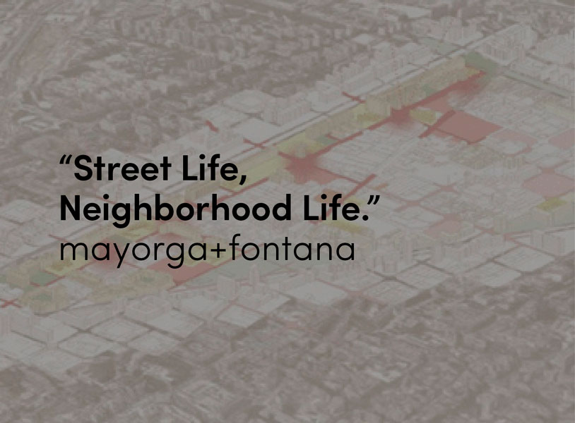
Following along these lines, which are committed to neighborhood-based urban planning, where urban quality is promoted through sustainable mobility and centrality, a study was carried out in 2018 for the Poblenou district of Barcelona, which, with its five neighborhoods and the areas included in the so-called 22@ Industrial Renovation Plan, is going through a process of reflection, which includes a reconsideration of its city model. The City Council hopes to “promote a joint strategy for all municipal areas, beginning from an analysis of the past 17 years of 22@ and the needs that have arisen in the area associated with residents’ daily lives and the economic agents installed in the territory”. The debate encompasses economic aspects, as well as social challenges, and urban planning.

Atlas of operative cartographies centered on issues, activities and social groups for the study of neighborhood centrality. Poblenou-22 @. Barcelona.
The study proposed a strategy based on the synergies between streets and educational facilities [1], understood as neighborhood centers with the potential to foster change for the future of the area, which is currently characterized by conditions of physical, functional and socio-spatial discontinuity and fragmentation. It involves a technical-participatory proposal that ties in with the demand for more public space for pedestrians, but above all with a harmonization of the different existing functional areas – the historic center, a technological hub, and spaces under transformation – in order to promote “neighborhood” life in this important area of Barcelona. It is not only about pacification, the aim is also to give back the city to children, families, teenagers and neighborhood residents in order to guarantee citizens’ rights to centrality.
The strategic proposal identifies and evaluates the system of existing centralities with the aim of promoting a more balanced and interconnected future network of urban relationships that can improve daily life, taking into account the potential of the school network in neighborhood construction. Using new approaches, methods, and tools of study, an atlas of operative maps was produced, to support measuring and visualizing the existing conditions as a foundation for making proposals intended to protect urban life and to make the resident population compatible with the floating population, the reproductive city compatible with the productive city. The “caring city” is promoted through a distributed system of local urban centralities, an urban model that conceives the network of schools as intergenerational social meeting places, with the potential to foster a more continuous and legible urban structure by drawing on the network of everyday relationships. Thus, a “network of nodes and urban strips of everyday life”, relying on a network of synergies between neighborhood centralities, would be responsible for sewing together the different areas of Poblenou.

Strategies to promote neighborhood centrality through the overlapping of synergistic actions.
Strip on Carrer Perú-Paraguay, Poblenou-22@.
In addition to actions rooted in grids, like the “superblocks”, or determined by “zones” or “axes”, which are already being implemented in Barcelona, another complementary urban strategy is proposed, which lays out overlapping networks of interconnected areas, based on the logic of a “Scottish tartan”, highlighting “nuclei” or “environmental strips” that are dynamic and have no predefined a priori borders. Understanding and valuing this distribution of local centrality lets us to move towards a more informed urban planning that is adaptable and attuned to changes as well as different urban collectives. In that sense, the urban synergies generated between pedestrianization processes and educational facilities can play a priority role, given that the intensity of the associated urban life (whether existing or potential) is a determining factor in the definition of plans, programs and/or projects that aim to improve “street life and neighborhood life”.