In favor of a more flexible and strategic urbanism that makes democratic use of new technologies, to be more informed to make better decisions for a sustainable city.

The street as a strip of neighborhoods. Cross-cutting urban strategy.
New technologies are rapidly transforming our society and, although we may not perceive it as much, our cities and how we move around them. Many of the approaches, methods, tools and technologies for urban analysis, and public communication used by private companies surpass the ones used by public administrations. There are, for example, open-access digital platforms that generate interactive city maps using multicriteria urban analysis, that work like on-line real estate agencies with an international scope (Walk Score). Yet the planning and management of cities still follow strictly formal, functionalist approaches from compartmentalized disciplinary areas: architectural projects are entrusted to intuition and design principles; the street as an infrastructure and urban networks are planned as a tubular network of without understanding their synergies; and urban planning is based on zoning that is static over time and generalized in its definitions. We need to introduce interdisciplinary working methods and take advantage of new technologies in the design and planning of the street-space and neighborhoods, in order to improve mobility and urban habitability.
In today’s urbanism the concept of “walkability”, La ciudad paseable, the walkable city or Vision Zero, is synonymous with urban quality. This approach to the street-space – to use a broad and relational term – presents an opportunity to promote and encourage a more open and collaborative use of new information and communication technologies (data, platforms, apps, geographic information systems, sensors, virtual or augmented reality, etc.) as a way of creating proximity and complicity between citizens and the administration.
The street takes on a lot of importance as an object of reflection, especially given the evidence of a need to review the “car-centric” model, which conditions how we understand and conceive of urban life from a vision that prioritizes this means of transportation. The street-space forms the main urban network of the city, both due to its functions of distribution and access, and how it shapes places, distributes uses and generates centrality, in addition to channeling the flows of people, goods and information. The street demands new perspectives, with new approaches and new tools.

Current state of the Avinguda Meridiana. Streets are for cars.
The proposal encompasses a broad range of issues for discussion, including policies for the pedestrianization of roads and centric areas, and the implementation of inverted priority areas; proposals for the pacification of throughways; impact mitigation policies; improvements in public transportation; sustainable mobility plans or the implementation of superblocks. These are just a few examples from a series of proposals that, with varying levels of impact, respond to the goal of humanizing urban space, reducing the negative externalities of infrastructures on the lives of neighborhoods, as well as combating pollution, promoting the liberty and freedom of movement for vulnerable groups, encouraging social cohesion and neighborhood identity, and protecting neighborhoods from gentrification.
Making cities and streets more livable in environmental terms is an increasingly urgent issue. It is also critical to promote political, economic and social solutions at the same time as technical solutions, to combat urban socio-spatial inequality. In other words, we need to tend toward changes that promote a more just city, where citizens’ can satisfy their right to centrality and a better and broader quality of urban life, through improvements in neighborhood conditions, accessibility, mobility and urban design to create a street-space that is morphologically, functionally and socially more equitable.
The arrogance and supremacy of cars in urban space have relegated other more sustainable means of transport to the background. Now they need to be re-prioritized. However, a change in the city model, from one that enthrones cars to one that prioritizes pedestrians, also requires revising urban planning approaches and working methods. Before an intervention in a particular street and its specific area, it is worth taking into account the people who use it, how they use it, where they are located, what medium they move in, where and how they walk or cross the street, and why.

Urban mapping. Atlas by themes and social groups.
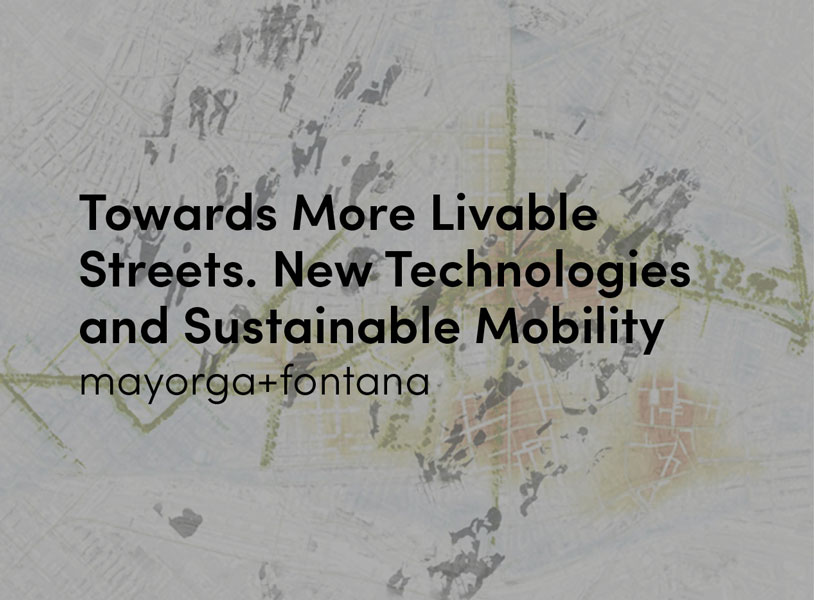
To that end, the study Procés de reflexió participada sobre els eixos transversals a la Meridiana [Participatory study of the roads that cross the Meridiana] (M. Mayorga, X. Abadía, M. Ramos, T. López, M. P. Fontana y G. Clavera) was developed for the Barcelona City Council. This study is based on new approaches, methods and tools and stands as a complement to the Avinguda Meridiana Transformation Project. This pacification project, which responds to a historic demand from residents, is combined with the idea of strengthening cross-sectional relationships and “stitching neighborhoods together.” The goal is to foster urban identity in the city’s intersections and corners and to guarantee continuity and urban readability by drawing on residents’ everyday pedestrian movements. The aim is to rethink this existing urban highway, in the context of a new city model based on sustainable mobility and a recovery of the street-space as a public space, emphasizing the improvement of neighborhood conditions and transversal connections.
The process of reflection and the urban strategy proposal for the study of the Avinguda Meridiana, are a technical and participatory investigation (mixing morphological elements, with statistics, with testimonies and perceptual aspects), which identifies the patterns of urban life in neighborhoods to then define a system of transversal urban civic axes and a system of plaza-intersections. It was all founded on a study of the street-space and neighborhoods, using an atlas of maps generated through a Geographic Information System (GIS). Based on a series of parameters and indicators, this makes it possible to visualize, model and analyze (in interaction and as a whole) a number of patterns and trends, including: how different social groups live in the city; the conditions of mobility and accessibility; the quality of public space; activities and socioeconomic characteristics; and even the degree of vulnerability to gentrification processes. This overview serves as an analytical foundation that can be used to propose criteria and possible intervention solutions along the urban strip of streets and neighborhoods.
A more flexible and strategic urbanism is needed, of neighborhoods and streets, that makes democratic use of new technologies and avoids the risks of corporatization, technocracy and a panoptic control of the city; one that tends toward dynamism and is receptive to changes, events, continuities and processes; to what is necessary and what is superfluous, to what is certain and uncertain, singular and plural. It should also be a technical urbanism, based on urban designs and urban policies that are intuitive but demonstrable, informed and documented, socially communicable and truly participatory, that can generate proximity and social complicity in a context of consensus and inevitable conflict. With better-informed urban planning, better decisions can be made to transition toward more sustainable mobility and more sustainable cities.