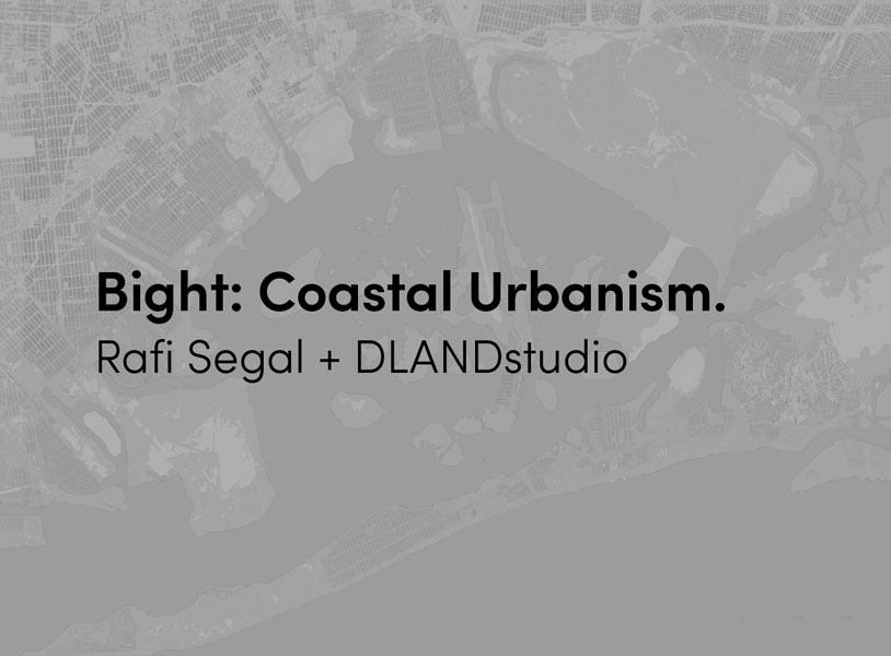
In January 2017, RPA launched a design competition which called on architects, landscape architects, designers and urban planners to visually demonstrate how policy changes, new investments, and innovative thinking proposed in the 4th Regional Plan – A Region Transformed (to be released October 2017) can transform different geographic areas in the Tri-State region and prepare them for the next 25 years. Rafi Segal and DLANDstudio were selected to propose visions and designs for the future of the Bight, the region’s Ocean Corridor.

The New York Times article photo, October 30, 2012.

“Elevation-Based Zoning” proposes different zoning- and building regulations based on grade elevation to address the risks of storm surges and flooding.

Jamaica Bay: projected flooding (top), proposed plan for future development (bottom). Flooded ground becomes parks and open water, while dry areas such as JFK are protected and intensified. The result: a new square-toothed “Bight City” comprised of waterside neighborhoods.
The Bight is the notch in the region’s coast where ocean currents conspire to pile sand, forever redrawing the shore. “The Bight” is also an invention — a hard coastline extensively built during the 20th century, now stiff with aging settlements determined (but ill-suited) to stand their ground against storms and sea level rise. These opposing forces, where the immovable city meets an unstoppable nature, define its uncertain future. It’s time to blur the line.
To relieve this tension, which threatens hundreds of miles of coast, hundreds of thousands of residents, and hundreds of billions of dollars in property losses, we propose replacing the hardened edge separating the city and nature with
a new “landscape economic zone” — a buffer in which land and water commingle, creating new spaces for habitation, conservation, work and play.
Rather than futilely trying to hold the line, the zone’s mantra is “receive, protect, adapt.” Strengthen urban spines and nodes on higher ground to receive new residents at higher densities. Protect low-lying areas using the absorptive capacity of the buffer, and adapt to a more amphibious lifestyle in the zone — transforming the coastline into the new urban frontier.

Sending and receiving neighborhoods: a strategy of switching people and densities over time from high-risk areas to safer ground.
The result is a less sprawling and more productive coast, made all the more resilient by tailoring homes, neighborhoods, and cities to this new reality. To test our hypothesis, we chose three sites representing three urban scales of the Bight in three snapshots from the future:
Jamaica Bay, New York (2067) — a half-submerged Jamaica Bay protects its edges while doubling as New York City’s new sunken central park.
Mastic Beach, New York (2050) — well-managed retreat produces one of Long Island’s most desirable retirement communities nestled inland from a coastal “energy farm.”
Sea Bright, New Jersey (2030) — a vanishing barrier island refuses the inevitable and becomes a test bed for “the flood life.”

Densifying high ground.

Cross-sections demonstrating how landscapes act as a buffer between wet and dry (top), new building offering access from both water and land on the edges of protected neighborhoods (bottom).

Street sections showing the transition between higher dry ground and lower wet areas.
Each scenario poses an opportunity to raise questions around the futures of energy, community, finance, and work in the region. Ranging from the rapid transition toward renewable energy to the redefinition of leisure in an era of intense automation, these seismic shifts go hand-in-hand with reimagining the Bight as a new open space for America’s most populous region, rather than an increasingly untenable line in the sand.

View of proposed Gateway Station from the ocean side.