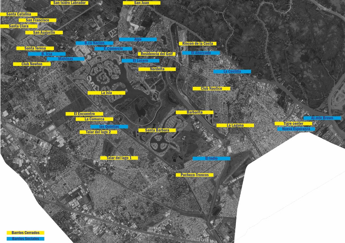
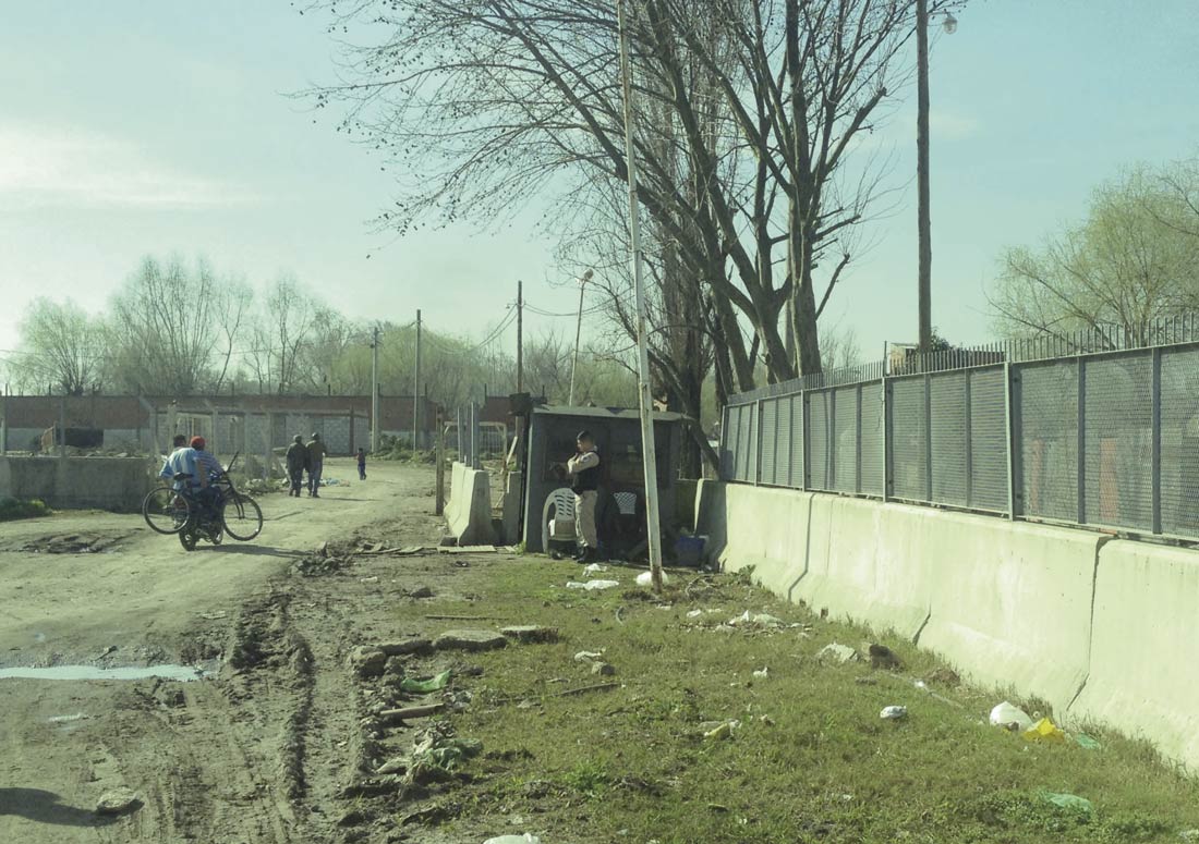
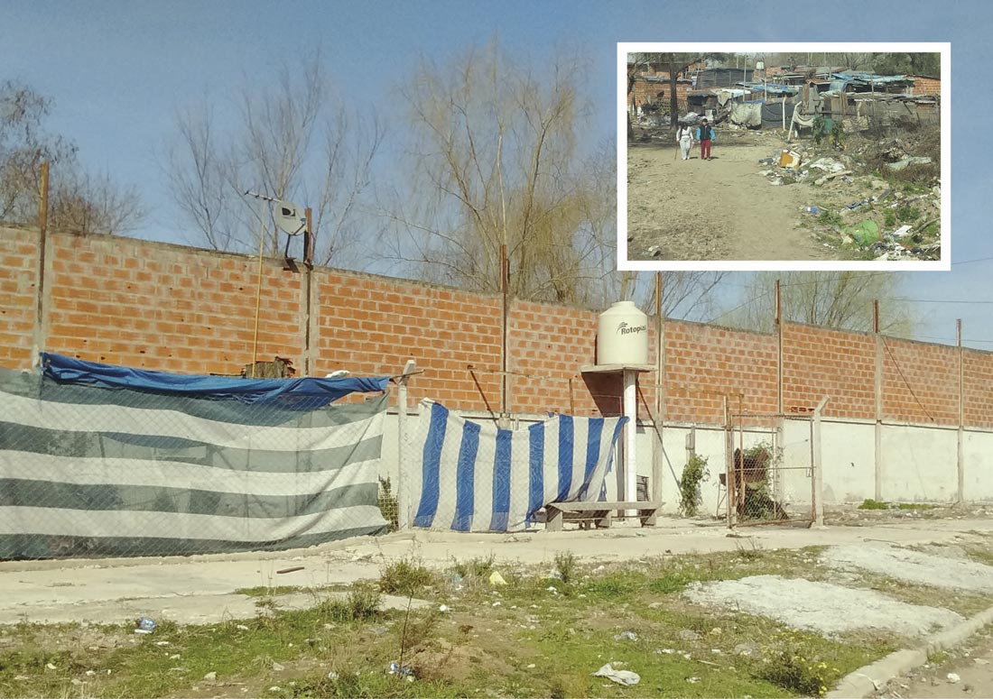
This visual geography study and series of interviews focuses on the boundaries and accesses of the two dominant types of clusters in the municipality of Tigre – MABA (Metropolitan Area of Buenos Aires): barrio cerrado (gated community) and barrio sociales or villa miseria (slum). Both realities, with different characteristics, are impenetrable neighborhoods which contribute to a massive ghettoisation of the city.
What makes the villas miseria enclosed neighborhoods is the isolation dictated by the marginal localization within the territory and the control of each access by micro-criminality (which is similar in Tigre to common mechanisms present in slums). A deeper analysis is needed to understand the motivations that have led to a large increase in enclosed residential neighborhoods for the middle-high class in the last 20 years. In 1994, only 1450 families lived in gated communities in the MABA. By 19961 the number was 4000, and the increase was even more remarkable after Argentina’s crisis in 2001.
As revealed by the statistics and observed through the interviews, the municipality of Tigre is among the safest in South America. Despite this, the militarization of the city through the massive presence of police, video surveillance and gated communities, is considerably notable.
Gated communities are a worldwide phenomenon, but their development in South America can be read as the last symbol of historical social segregation.2
These extremely fortified settlements with a high technological level of security are realities that have emerged in unsafe countries justified by a high level of crime, guerrilla conflicts and drug dealing. The truth is that their spread in the MABA had more to do with the achievement of a higher social status and, above all, thanks to a clear marketing campaign by private real estate investors, where politics plays a key role in allowing for permits and land development. Forty percent of the territory of Tigre is occupied by gated communities, including country clubs, private neighborhoods, nautical clubs and megaprojects (or megacities) such as the most famous example of Nordelta, which comprises 1000 plots over 1600 ha.
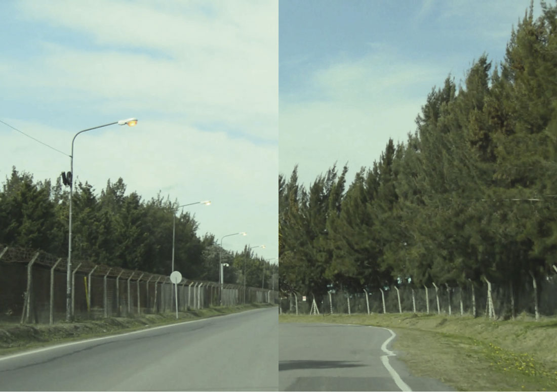
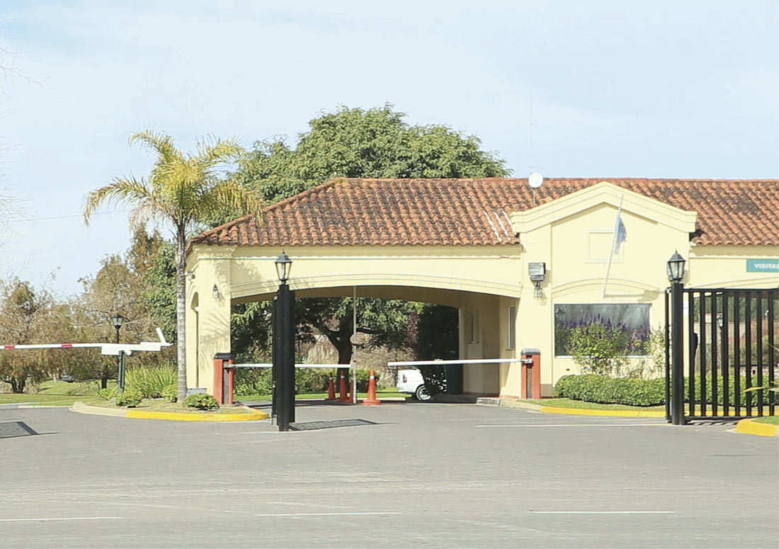
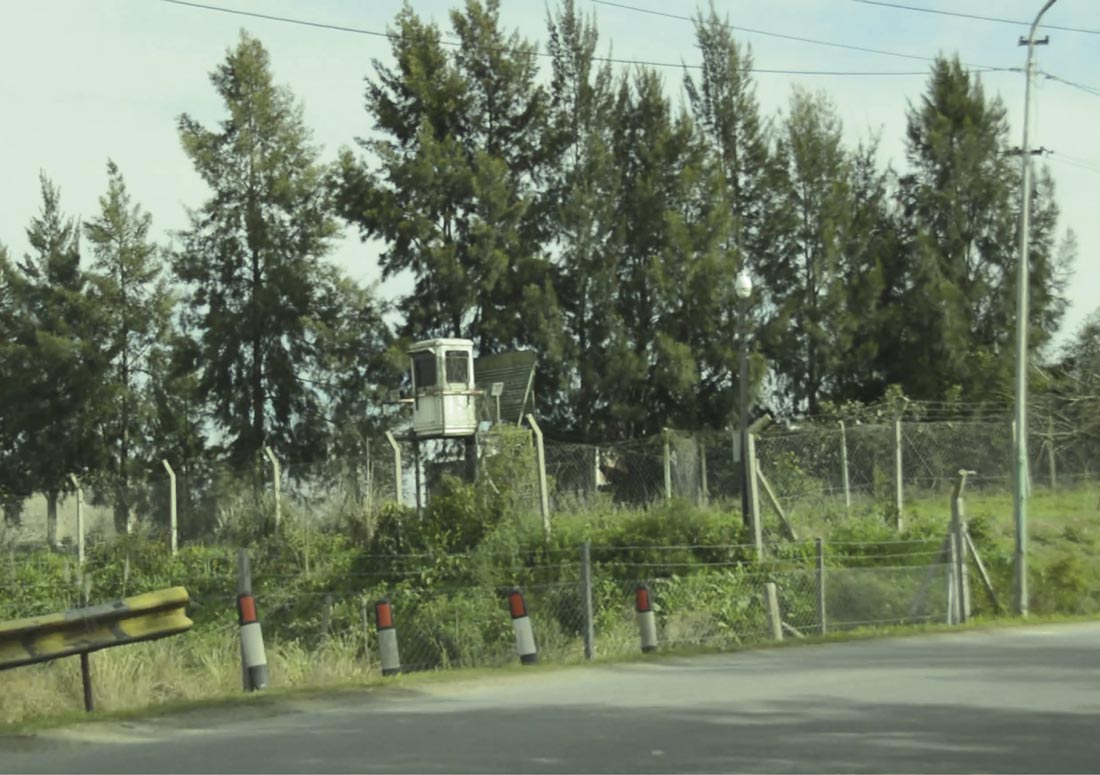
There is a remarkable contrast between the image appearing inside these private neighborhoods, built following the US middle class stereotype, and the external image they create through the presence of massive walls with barbed wire, lookout towers, and highly supervised points of entry, which contribute to a distorted perception of the insecurity of the city outside.
Moreover, these settlements require extensive land extensions, large quantities of infrastructure and amenities for private use only; in MABA they occupy 50% of the land for a mere 5% of its residents. This clearly demonstrates a concentration of wealth and an unequal access to economic, social and territorial resources.
Settled in relation to barrios sociales, these gated communities contribute to their densification (since the poor inhabitants become the service workers for the medium-upper class families) and they frequently cause a dangerous increase in hydrogeological vulnerability as a result of modifying the morphological structure of the territory, with imposing engineering works popping up in areas of natural depression or expansion banks used for the prevention of floods. This is the case for Las Tunas3 and Tigre Sur with the private community called New Venice that is currently under construction.
The visual research aims to evoke considerations and reflections through video and physical images of artifacts that highlight social segregation in the urban fabric, denying the possibility of urban interaction and integration between different social groups living inside or outside the walls of these protected residential settlements.
The lack of captions in the pictures leaves users free to construct meaning, and it reminds us that “ the vision is more of the ability to observe and more of the physical act of watching”4 and that “geography today starts from the assumption that every gaze produces its own description of a place or phenomenon, over time and space and not necessarily coinciding with previous descriptions.”5


