The analysis presented in this post use the primal approach of Multiple Centrality Assessment (MCA) for several reasons. First, MCA closely follows topology as well as distance, which means that the analysis includes both the lengths and the geometrical properties of the street network. By contrast, space syntax ignores the physical length of the network. Instead of street lengths, Space Syntax uses the concept of depth—a measure of steps taken as one turns from one street to the next street.
By focusing on topological step distance and ignoring real distance, the space syntax approach makes the perception of cities more abstract (Porta et al. 2006). According to Porta et al. (2006) and Ratti (2004), MCA should be preferred for configurational analysis because it is “more realistic”. They argue that metric distance is considered one of the main properties of the built environment in various fields, including urban planning, transportation planning, urban design, and geography, and that MCA respects its importance by integrating metric distance into its calculations (Porta et al. 2006).
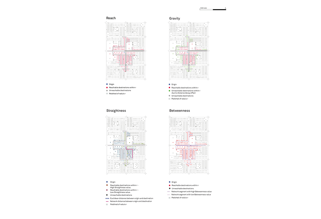
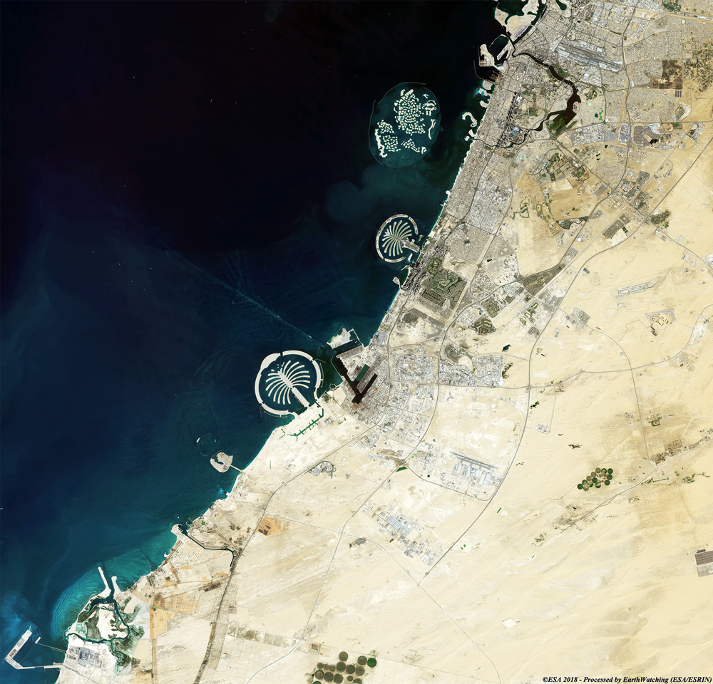
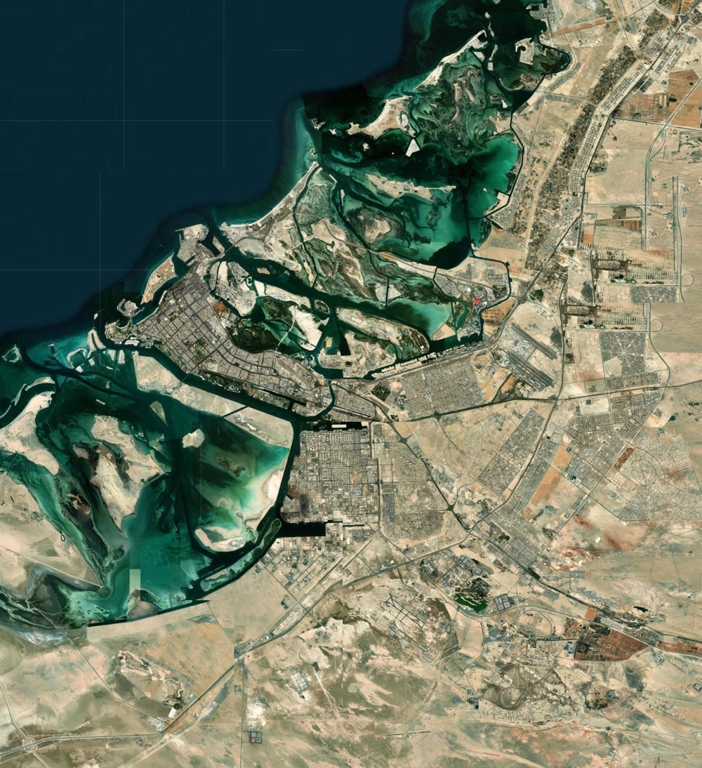
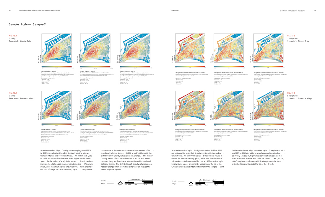
In this analysis, ‘centrality’ is interpreted as the cumulative effect of metrics such as Reach, Gravity and Betweenness, and ‘efficiency’ is defined as a function of Straightness. In order to provide a greater understanding of the urban structure, this analysis uses a conventional mapping technique with UNA’s mathematical approach. To map neighborhoods’ evolution, aerial photos and geospatial data were obtained from Dubai Municipality (DM2015) and Abu Dhabi Spatial Data Infrastructure (ADSDI2015).
The morphological analysis was carried out using these aerial photos and GIS layers and focused on neighborhoods’ street layouts and land uses and sizes. This analysis treats networks as a combination of streets and alleys. Computed information on network layouts included street intersection density, street density, street design, alley density, alley intersection density, and ROWs. Densities are generally measured by dividing the physical parameter under scrutiny (i.e., streets in the case of street density) by unit of area (Peponis et al. 2007). In analysis, all metric units are used—for example, hectare for area and kilometer for length.
Consequently, street and alley densities have units of kilometer per hectare (km/ha), and intersection densities are calculated as the number of intersections per unit area. Building and land-use data include neighborhood area, plot sizes, plot dimensions, plot density, building density, residential and non-residential uses (daily uses), and system of land-use distribution. Obtained GISdata from stakeholders does not include alleys. Therefore, alleyway networks for all studied neighborhoods have been digitized.
Aerial image analysis completed through site visits allowed our team to trace and digitize the existing alleyway networks in the studied neighborhoods of both Abu Dhabi and Dubai. Alleyways are critical components of a non-motorized transport network. Thus, this book incorporates the alley network into its analysis together with the street networks. The digitized alleyway data can be easily integrated into the stakeholders’ existing GIS database. The updated GIS database can then be used for future spatial analysis to obtain accurate results.
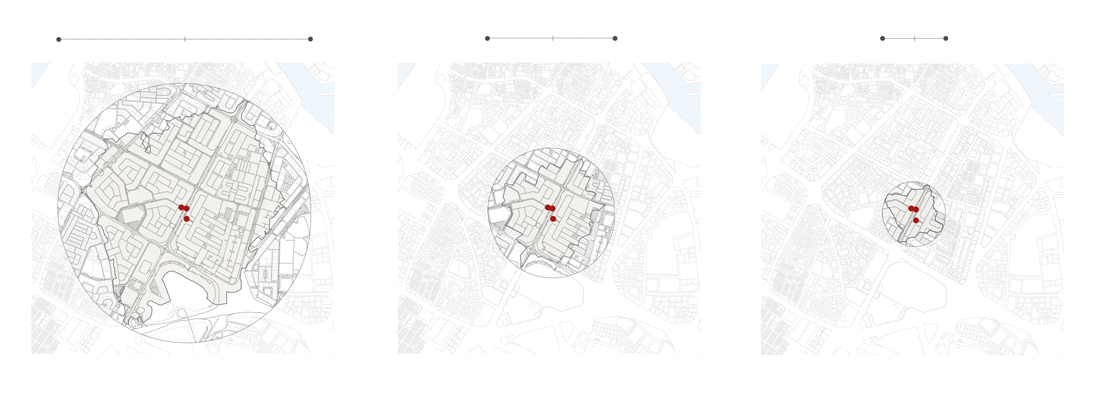
The morphological maps and GIS data were further used as inputs (base maps) to Rhinoceros 3D(Rhino) for Urban Network Analysis (UNA) and as a database for interpreting simulation results. For the network analysis, the researchers used Urban Network Analysis (UNA), a toolbox created by the City Form Lab at the Singapore University of Technology and Design in collaboration with MIT.
This toolbox is used as a plugin into either GIS or Rhino to conduct graphical and mathematical network analysis in order to describe the spatial patterns of urban areas. UNAis used to both visually and mathematically understand efficiency and centrality in different neighborhood forms that originated in different morphological periods or growth phases. Morphological periods are time spans characterized by a repetitive use of similar street patterns, land use systems, or building densities reproduced over a certain amount of time until they are replaced (Whitehand et al. 2014).


